At a glance
- Client
- Resident groups in DAMAC Hills 2 and Jumeirah Golf Estates, Dubai
- Night
- Saturday 31 October 2026, from 6 PM
- Built
- DAMAC Hills 2 site on 27 October, Jumeirah Golf Estates site on 29 October
- What we did
- Film intro and voice, map and route planner, resident sign-up with organiser approval, hosting and take-down
Results
| Measure | Result | Context |
|---|---|---|
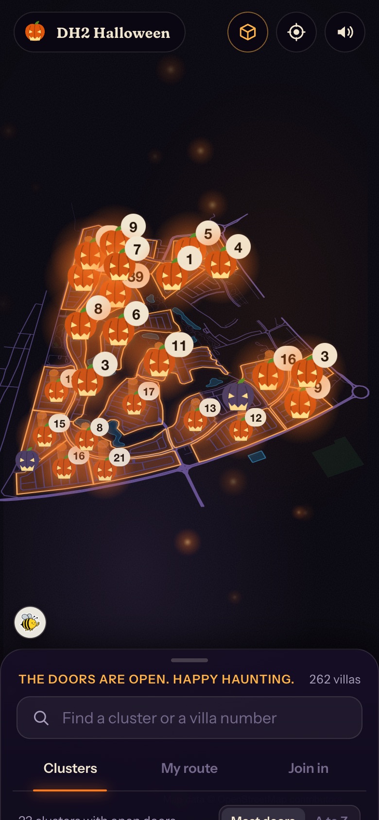
| DAMAC Hills 2 homes | Up to 264 | up from 178 villas in 23 clusters at launch; the screens below show 262, the count at the last update |
| DAMAC Hills 2 door pins | Around 80 | placed by residents at their own door |
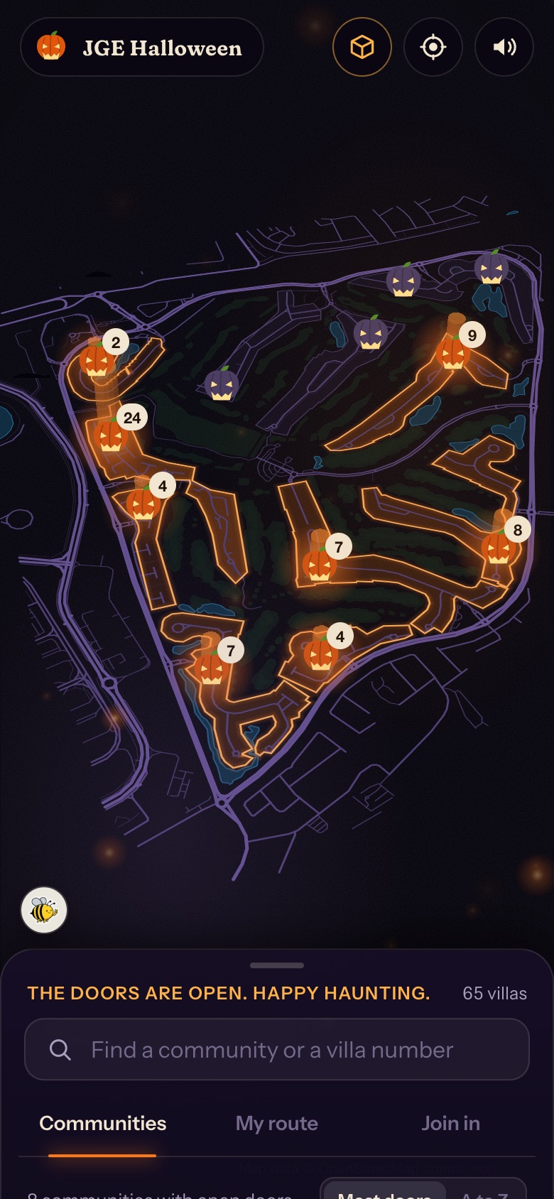
| Jumeirah Golf Estates homes | 65 | up from 41 at launch, across 8 communities, by the evening of 30 October |
Counts from each site's own list of homes. We do not have visitor numbers for either site.
The brief
Trick-or-treating in a large villa community has a simple problem: families do not know which doors are taking part or how to reach them. The homes were listed in a residents' group post, which is hard to follow on a dark street with children in tow. The organisers wanted a page anyone could open from a link, with every taking-part home on a map, that residents could add themselves to as the night got closer.
What each site did
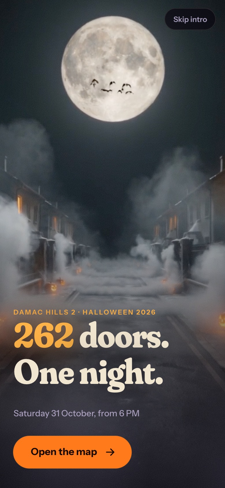
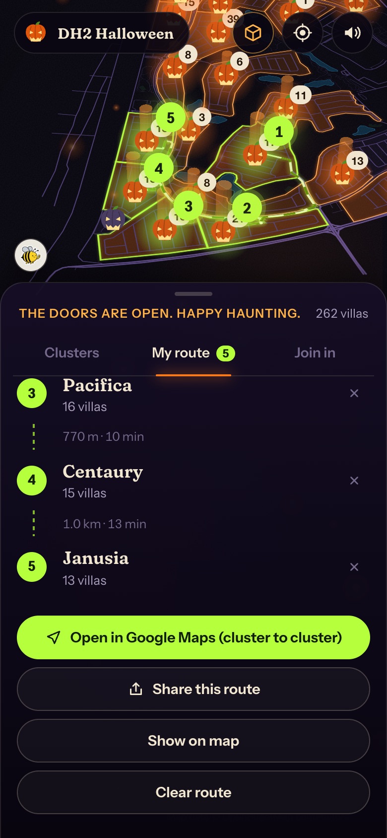
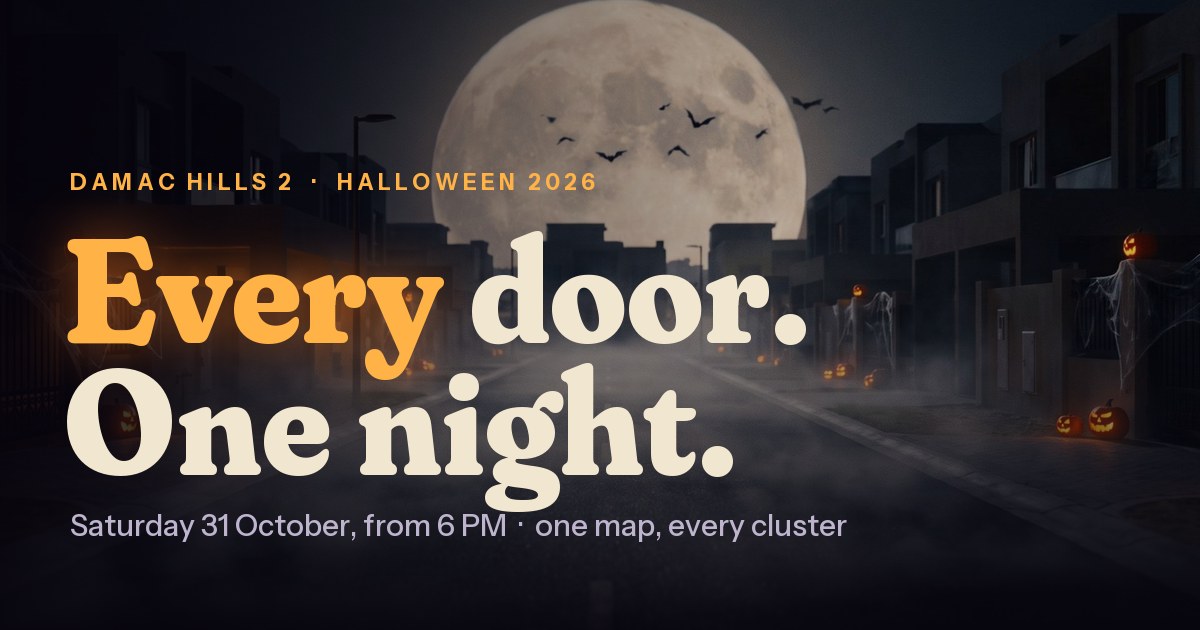
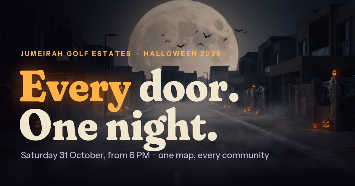
Each site opened with a short film and a spoken welcome, then went straight to the map. Streets and community outlines came from OpenStreetMap, so the map matched the real roads. Families could search for a villa, plan a walking route that follows the streets, share the route as a link, and open it in Google Maps to walk it. A tick on each door let them mark the ones they had already knocked on.
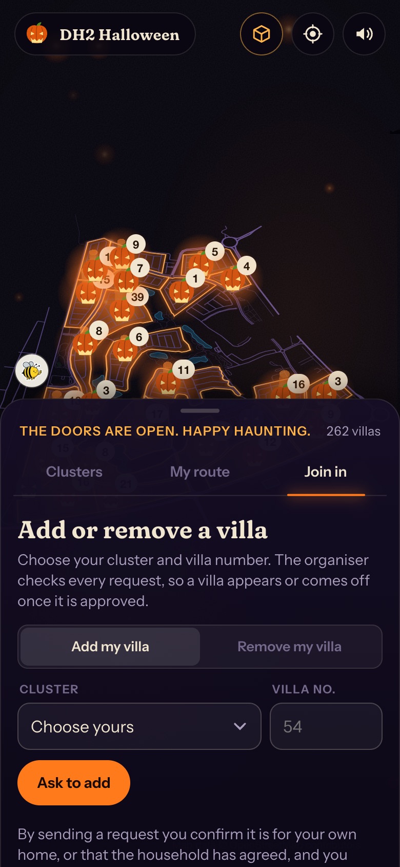
A Join tab let residents add their own home. Because OpenStreetMap has no house numbers in these communities, households placed a pin at their own door: if the phone's GPS confirmed they were standing there, the pin went live, and anything else waited for the organiser to approve on a private page. Each site also had link previews for sharing in group chats, a terms page and a small “Powered by The Buzz People” badge.
Privacy and safety
A map of homes needs care. The sites stored only a cluster or community, a villa number and a pin, with no names, accounts or cookies. Nothing went public without passing the GPS check or the organiser's approval, requests were rate limited, and a pin showed only while its home was on the trail. The sign-up closed after the night, and both sites were taken offline on 4 November 2026. This page uses stills and the film instead of the live maps for the same reason.
How we built it
Each site runs on Cloudflare Workers with a small database for the list of homes and the pins, and MapLibre draws the map. The film and the welcome voice were made with AI video and voice tools and edited by our team, and the sound effects are generated in the browser. The second site reused the first one's code with its own map, database and organiser access, which is why it could launch two days later. See AI content production.
What this means for clients
The same approach works for any event that happens in one place on one night: a mall activation, a roadshow, a community event or a brand trail. People open a link, see where to go and get walking directions, and the organiser stays in control of what is shown. See web design, website development and events and activations.
DAMAC Hills 2 and Jumeirah Golf Estates are named only as the places the trails ran.
Screens from the sites
More from this work
More case studies
Work with us
Email hello@thebuzzpeople.com or WhatsApp +971 55 696 3961.